
A recent walk to Riecharlotte (Charlottes shieling) to the sound of roaring stags.
I walked in from the top of Strathardle via Brerachan commercial woodland, that then takes you to open moorland near an old shepherds hut now a ruin called Arnbeathan. The area of crags up to the left have been recently recorded (published in Discovery and Excavation Scotland) referenced as Cona Chreag as per the name of the crag, with twenty plus huts, a previously unknown shieling well worth exploring.
Riecharlotte was the destination so a fairly straightforward heading initially by another shieling called Ath nam Breac, easily spotted as it nestles around an exceedingly large erratic boulder. Ath nam Breac is by the west bank of a ford that crosses the Allt na Leacainn Mòire burn (that becomes Brerachan Water) and the ford is on the the old Strathardle to Blair Atholl track. Interesting to note that no bridge was ever constructed here despite how much it must have been used over the decades.
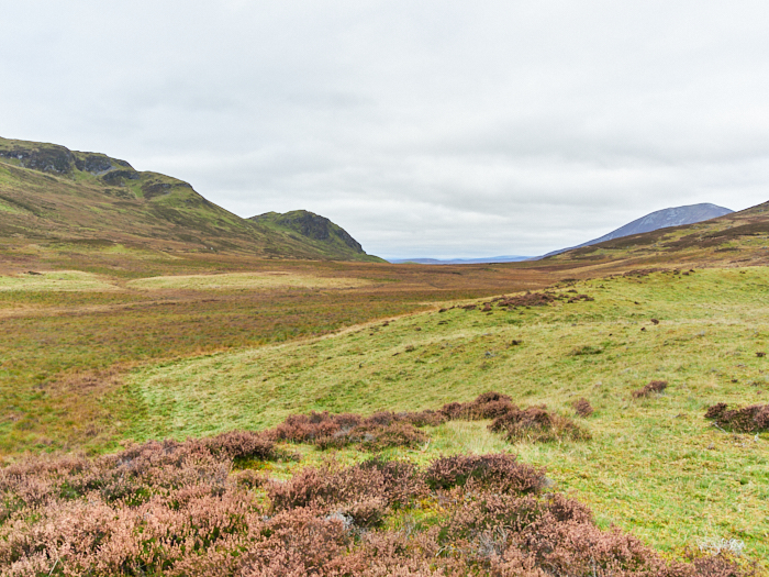
 Continuing onto Riecharlotte you cross over a well constructed and very straight dyke that heads down the left side of Lòn Mòr a flat area ideal for easily guiding livestock after their hill route, the wall acting as a property boundary over the years. The old road is actually on the left of the wall. A bit of livestock droving management thinking required here, as you would think the flat and wide Lòn Mòr (bottom pic) would be easier for a herd of cattle, how it all worked in practice and with at times tetchy owners is something of a mystery.
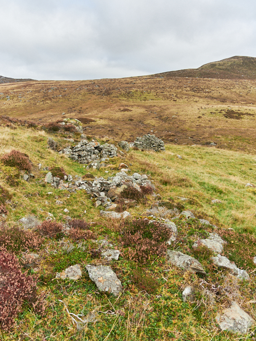
A little further on by the side of Allt na Leacainn Mòire you reach Riecharlotte, with its short row of houses and the occasional seperate buildings and enclosures. Named after Lady Charlotte Lude. Charlotte was a staunch Jacobite who entertained Charles Edward Stuart, she reportedly bullied tenants into following the cause and one assumes also to fight or have their houses burnt down and apparently there was several instances were she actually did so. The 2nd Duke of Atholl her immediate land owning neighbour and who had many of his own tenants working the land was of Hanoverian persuasion, all making for an interesting period and place in history. Not a good time to be a tenant of either.
She was also part of a dispute in 1749 over the exact position of the ford at Ath nam Breac that would indicate the boundary march. A dispute that would appear again in 1778 when some animals strayed over the march onto Lude ground, such was the territorialism and animosity even in such a remote and one would think forgiving landscape. Charlotte died in 1787 aged 77.
So we can assume that the settlement dates from early to mid 18th century and the construction of what we see now initially paid for by John Robertson of Lude, Charlottes husband. With it perhaps being much older in the form of a small shieling with just turf walled huts, that is a shieling rather than a settlement that it subsequently became.
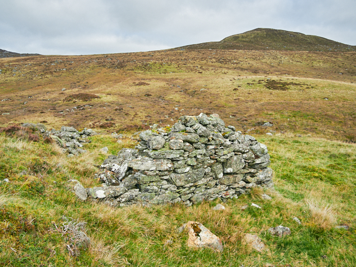
There are estimated to be ten buildings at Riecharlotte, I didn't count, one still with an upstanding gable, the rest quite ruinous, a large enclosure is just behind the buildings that are partly sheltered from a westerly wind by a low ridge. As was relatively common settlements often had a grain drying kiln, the Scottish weather not being that conducive to dry sunny weather, Riecharlotte has two kilns that are in a reasonable state with the bowls and construction still clear (second pic). The rent in 1787 was £40 0s 0d excluding services and casualties.
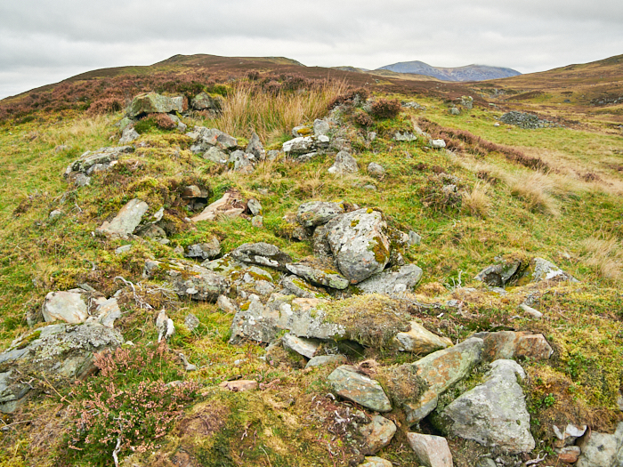 That Riecharlotte is not scheduled is quite odd but then very little of the area is. A full and comprehensive survey from Glen Tilt to Glen Fernate would make for quite a study. Revealing amongst other things just how busy and productive the landscape once was. That large numbers of people once populated what we now perceive as an empty and desolate landscape. A landscape devoid of trees but that is probably how it had been for centuries if not a thousand years or so (more research) and that notions of ‘re wilding’, a large part being the creation of forestry that can be very destructive of a once thriving cultural landscape. Yes specific archaeology especially when tree planting is avoided but its presence and context become shrouded and ultimately overwhelmed and lost. Feature sites are 'protected' but the likes of field boundaries aren't. There will almost certainly will be archaeology that we currently cannot see and that would be completely lost, whose remains are covered by time and dormant. A Lldar survey would reveal more but not all, perhaps that should be a prerequisite of any land transforming development, even though costly. We should be thankful meanwhile for some good aerial satellite imagery to reference back to when much becomes lost but that is sadly of small consolation.
Riecharlotte is definitely worth a visit and I’ll certainly be going back to explore the area thoroughly, without the roar of stags next time. There is a interesting looking bothy and enclosure on the opposite hillside over the burn to look at also, let alone the numerous other sites that require a bit more of a hike.
*'The Old Roads to Strathardle' by John Kerr is definitely a must read for information on this area.
Grid reference: 56.77087, -3.6715
Two Zoomy panoramas of the area taken a year or so ago: LINK and LINK
