My first major trip into the hills this year, although really not that far but still a reasonably strenuous walk for me. I headed to a shieling (?) bothy or maybe and more accurately a graziers bothy(s) to check it out. I know part of the route very well but decided to see if following the old Blair Atholl (Ardclune) path further on than before it would continue to be clear as it does initially coming from Strathardle. However once starting to round Crungie Dubh, the track eventually disappears, though it does show up on several maps. Rough ground it was from then on. Numerous deer however kept me company most of the way, small groups and much larger herds.
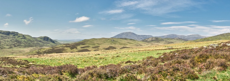
Rather remotely located (56.77179° N, 3.66308° W) on the west side of Crungie Clach, across Allt na Leacann Mohr from Riecharlotte (Charlottes shieling), see previous post and situated half way up the side of Crungie Clach, just as the hillside becomes more rock strewn. You cannot see Riecharlotte from the site nor the burn, as in front is an extended slightly sloping grassy area (main image) just before dropping steeply down.
 Somehow I got confused and thought this site had been recorded but actually it was only and rather oddly shown as a building on the latest OS maps and has no record that I can find*. It does not appear on older OS editions. Shielings are usually only vaguely indicated, with a few huts shown or so frequently no reference at all. As per the map it consists of two separate structures, plus an enclosure. There is one lone building (both are mostly grass covered footings) to the north and a few yards south the larger building itself being divided into two roughly equal sized rooms, the very fractionally larger being a possible byre. The small enclosure has one straight side, for reasons unknown.
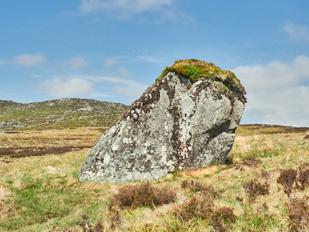
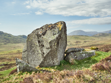
The view from the west facing entrances is lovely, certainly on the sunny day of the visit, out to a wonderful and far landscape. Behind is the steep slope of the hill that is very rocky, with many very large and impressive erratic boulders. The name possibly derives from the Gaelic 'Cruinn-chlach', meaning 'round stone, or ‘Crungie' relating to the Gaelic 'cruinneach' meaning round or gathered. You decide, it’s very rocky anyway compared with nearby hills. The hill you walk past is called Crungie Dubh ~ Round dark hill, if not actually that dark.
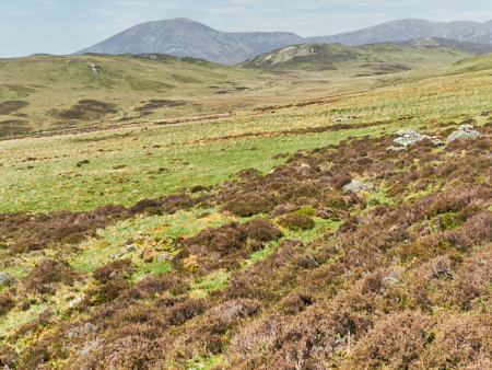 There is no discernible track route to or from the bothy which is quite interesting as there must have been a reasonably well trodden path of some sort for the people who stayed there. There is a possible enclosure to the front that viewing the satellite image shows as an angular element of heather growth. Down towards Riecharlotte but still on the east side of the burn there is a large area bounded by a well defined earthen dyke (56.77074° N, 3.66859° W), not seen from the bothy. It’s a curious site and has some interesting qualities, one wonders on the relationship with Riecharlotte if any. There must have been some interaction and overlap of occupancy between the two. The coming and goings as well as the droving routes passing by will have at a certain time made for a busy place, certainly not the quiet solitude of today, that I enjoyed while resting in the sunshine.
Just before heading back I noticed a third building, small and much reduced with the barest of outlines just a little away from the main building. Obviously a much earlier structure extending the timeframe and definitely worth recording.
Returning back to Strathardle via the east side of Crungie Dubh to join up again with the old track back downhill. I’ll return to do some proper recording and I think having seen the terrain will go instead via Clunskea glen that though not much shorter has most of the way an old estate track to follow before heading over moorland to the bothy.
It is interesting, to me at least, how the surrounding landscape influences a certain feel for a site, the nature of the site and wondering about the past occupants. This one is definitely worth a return and next time with my tape measure to record.
I’m amazed how poorly documented or surveyed this whole area is, with the number I’ve noted it should be seen in a different light and more fully protected.
A future trip I'll be heading to the dark distant crag you can see on the left in the main image, a whole unrecorded complex settlement of shieling huts.
*There might be a reference in the Blair Atholl or Roberts of Lude archives but my one attempt on another site didn’t get a response from the archivist.