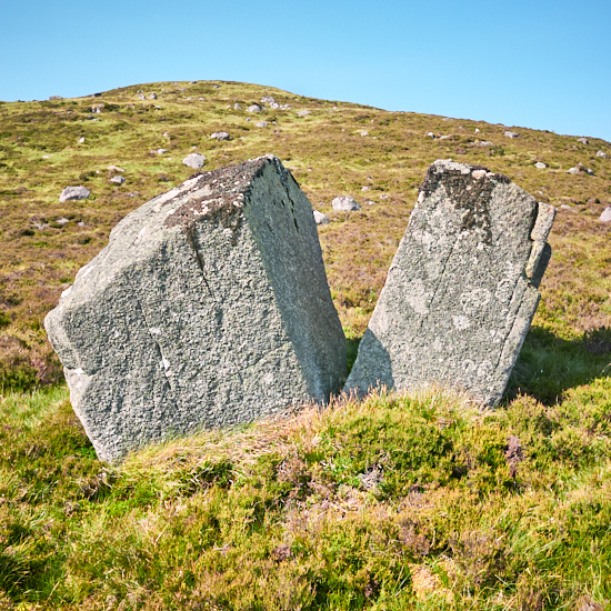
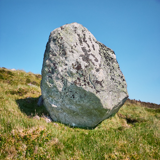
Another walk to the bothies on the lower slope of Crungie Clach, a very well named hill given its stoney nature with a good scattering of exceedingly large boulders. I walked in this time from Clunskea glen on the east side of Gurlet and came back via the east side of Crungie Dubh. It was exceedingly hot latterly, the initial coolish breeze having died down and quite a slog over some very rough ground, even if not great in distance. On the way a stop at a nice bothy (56.76913° N, 3.64119° W) and enclosure just off the track that I've previously recorded.
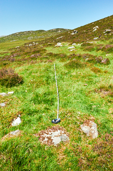

Once I got to my destination I measured all three of the bothy structures plus the small enclosure. The largest I think is actually and unusually two joined bothies, rather than living area plus byre. These are marked and outlined on the OS Mastermap (reasonably accurately) and 25,000 scale map but I confirmed that no record of them exists. Possibly a mention in the Atholl archives but that would require access and a deep dive. There is one (pic with tape measure) not shown on the OS map but then it is quite subtle. A very interesting location with no visible track to it. Down and to the front there is a feeling of a possible cleared for grazing, or at least stone free area, speculation on my part.
After a slightly leisurely time I decided to climb up Crungie Clach and although hot and a steep clamber up it was well worth it, with fantastic views around. Despite the welcome breeze at the top there were numerous Painted Lady and Red Admiral butterflies flying about, a nice little bonus. Back down the hill, more boulders and rough going. A welcome break cooling my feet in a small stream halfway, bliss.